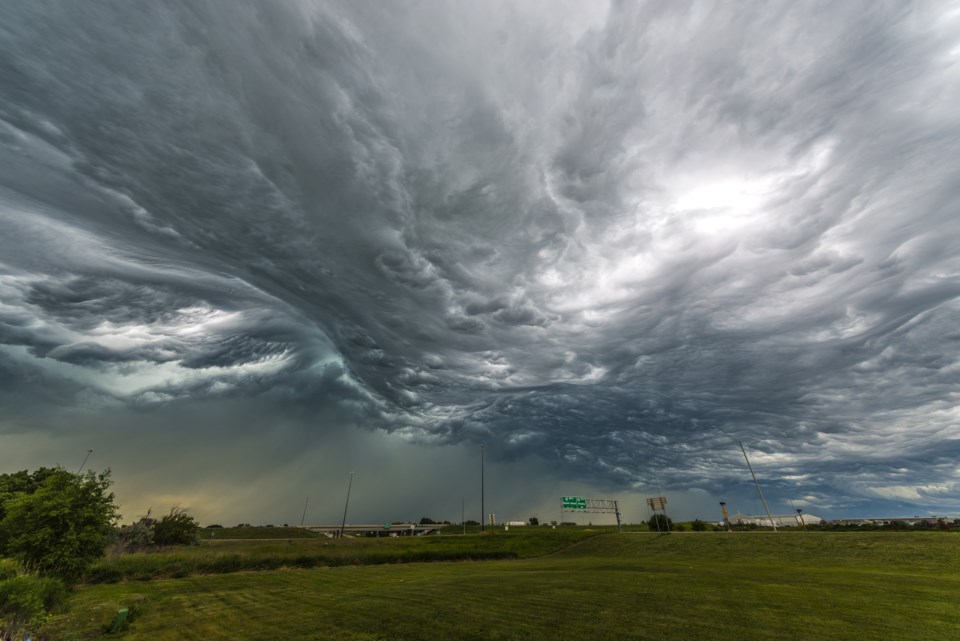
Environment Canada says there is potential for heavy rainfall Wednesday and Thursday due to the remnants of Hurricane Beryl.
In a special weather statement, the federal weather agency said that while it's a little early to have confidence in the track of the weather system, there is the potential for "torrential downpours" giving rainfall rates of 20 to 40 mm per hour at times in our area as the storm that hammered the Caribbean and Mexico weakens and heads north.
"Localized rainfall totals possibly well in excess of 50 mm" are also possible.
The waterworks are expected to begin some time late Tuesday night.
You can read more in the following statement from Environment Canada:
Issued at 2024-07-08 2:07 p.m.
Special weather statement issued for:
Newmarket - Georgina - Northern York Region
Vaughan - Richmond Hill - Markham
Barrie - Orillia - Midland
Bracebridge - Gravenhurst
Owen Sound - Blue Mountains - Northern Grey County
Listowel - Milverton - Northern Perth County
Stratford - Mitchell - Southern Perth County
Waterloo - Wellington
Innisfil - New Tecumseth - Angus
Halton Hills - Milton
Burlington - Oakville
Niagara
Kitchener - Cambridge - Region of Waterloo
Current details:
Potential for heavy rainfall due to the remnants of Hurricane Beryl Wednesday and Thursday.
Hazards:
Torrential downpours giving rainfall rates of 20 to 40 mm per hour at times.
Localized rainfall totals possibly well in excess of 50 mm.
Timing:
Beginning late Tuesday night or Wednesday, and continuing into Thursday.
Confidence:
Confidence in the track of the weather system and associated rainfall amounts is low at this point.
Discussion:
Heavy rainfall associated with the remnants of Hurricane Beryl may affect portions of southern Ontario beginning Tuesday night or Wednesday, and may persist into Thursday.
Although confidence in the exact track of the weather system is low, these types of systems in the past have given very high rainfall rates in torrential downpours.
Rainfall warnings may be issued as confidence in the track of the system increases.
For information concerning flooding, please consult your local Conservation Authority or Ontario Ministry of Natural Resources and Forestry office. Visit Ontario.ca/floods for the latest details.
Please continue to monitor alerts and forecasts issued by Environment Canada. To report severe weather, send an email to [email protected] or tweet reports using #ONStorm.


