WEATHER ALERT
ENVIRONMENT CANADA
*************************
Winter storm watch issued for:
- Barrie - Orillia - Midland - Collingwood
- Guelph - Erin - Southern Wellington County
- Innisfil - New Tecumseth - Angus
Current details:
Winter storm expected Sunday.
What:
Snowfall accumulations of 15 to 25 cm. Locally higher amounts are possible over higher terrain.
Peak snowfall rates of 3 to 6 cm per hour.
Poor visibility in heavy snow and blowing snow.
When:
Beginning Sunday morning and ending Sunday night.
Additional information:
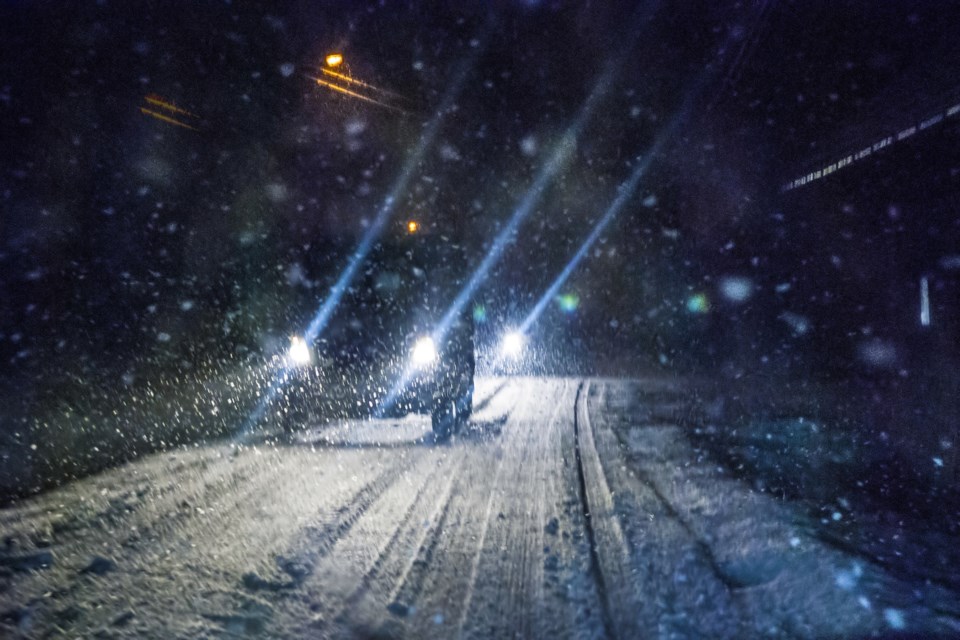
Another significant winter storm is forecast to bring heavy snowfall and blowing snow to the area.
There remains some uncertainty as to which areas will receive the heaviest snowfall amounts. People are advised to monitor future forecasts.
Rapidly accumulating snow could make travel difficult over some locations. Travel is expected to be hazardous due to reduced visibility in some locations.
Avoid travel if possible. For information on emergency plans and kits go to https://www.getprepared.gc.ca/.
Please continue to monitor alerts and forecasts issued by Environment Canada. To report severe weather, send an email to [email protected] or post reports on X using #ONStorm.
*************************