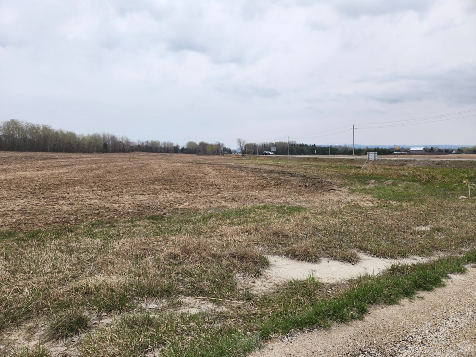
A 38-unit subdivision is being proposed for a property just west of Thornbury.
At a recent meeting, Grey County council received a planning report from county staff about the subdivision proposal. The report was received as part of council’s consent agenda and there were no comments made on the matter.
A developer is proposing to build 38 single-family detached residential units on property located at the corner of Highway 26 and the 10th Line. The full report can be found here.
The subject lands are currently vacant. In the county official plan the lands are designated recreational resort area and hazard and in the Town of The Blue Mountains official plan the lands are designated residential recreation and hazard. County staff said a rezoning application has been submitted to the town for consideration. No public meeting has been scheduled on the matter yet.
The proposed subdivision would have an internal municipal road that connects to the 10th Line. The proposal also includes a linkage to the Georgian Trail, a 30 metre-wide floodway channel corridor along Highway 26, a block of hazard land and a stormwater management facility.
The proposed development would be serviced by town water and sewage systems. The property is surrounded by a number of different mixed uses including: residential, recreational and vacant lands that have not been developed. The Georgian Trail is located to the north of the property and a golf course is immediately west of the property.
