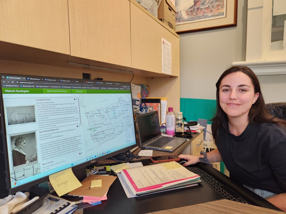
The Town of The Blue Mountains will soon have its own online and interactive Cultural Map.
For the past several months, the town’s museum staff and the town’s GIS department have been working together on the cultural mapping project. Together, they are creating a comprehensive record of the cultural, natural and intangible features that define The Blue Mountains and its history.
When finished, local residents and visitors will be just a few computer clicks away from being able to access all aspects of the community’s history.
“This is very much a community project,” said Alessia Farris, curator of the Craigleith Heritage Depot. “It will allow people to get more appreciation for our local history and be aware of the stuff we have here.”
The project involves superimposing an 1872 map of Thornbury and Collingwood Township onto a map from current day. When the project is complete, visitors to the map’s webpage will be able to click on a symbol denoting a historical/heritage site in the town and learn more about that particular aspect of the community’s history.
Town staff are currently in the process of gathering historical records and photographs to enter into the system.
“We started uploading with the GIS team in March, we have 75 (sites) ready to go,” said Farris, who expects that when the project is finished a total of 120 sites will be documented and accessible.
The Cultural Map will include historical sites, local traditions, local stories and the community’s natural beauty.
Farris said they are inviting the community to participate in the project by donating items to the project either through a physical donation to the museum’s collection or through a digital donation that can be added to the project. Those interested in making a donation can contact the museum directly at [email protected]
Farris said the museum is holding a session to speak to the community about the project at the L.E. Shore Library on Friday, May 10 and she will be available most Tuesdays at the library from 10 a.m. until noon to talk to local residents about donations to the project.
Grey County through Grey Roots has a Cultural Map, as does the Township of Southgate and the Town of Hanover. Farris said they have learned a lot from the maps that are already online.
“It’s given us a good idea of what our neighbouring communities have done,” she said. “We’re trying to hit as many communities as possible. We’re trying to get those things the locals who have lived here for generations know.”
Farris said it has been a great experience learning more about the historical communities in the town such as: Egypt, Kirkville, Germany, Gibraltar, Banks, Kolapore and Red Wing.
“It’s quite neat looking at all the unique histories,” she said.
Farris said the Cultural Map will be a terrific resource when it comes online.
“We want to integrate the past and the present and show what it was and what it is now,” she said.
More information about the project can be found here.
